Home
Charts_Navi
NCC_Navi
Publications_Navi
Digital_Navi
Flags&Signs_Navi
Logbooks&Stationary_Navi
Navigation&Safety_Navi
Contact
Digital Charts
Charts
Publications
Flags
Voyager
Stationary & Signs
Navigation Equipment
Safety Equipment
Terms and Policy
More
Filter By "Region" to show a set of charts in specific region.
CHS2224 - Rose Island to/à Parry Sound
CHS2225 - Approaches to/Approches à Parry Sound
CHS2228 - Lake Huron/Lac Huron (Southern Portion/Partie sud)
CHS2235 - Cape Hurd to/à Lonely Island
CHS2241 - Port Severn to/à Christian Island
CHS2242 - Giants Tomb Island to/à Franklin Island
CHS2243 - Bateau Island to/à Byng Inlet
CHS2244 - Alexander Passage to/à Beaverstone Bay
CHS2245 - Beaverstone Bay to/à Lonely Island and/et McGregor Bay
CHS2250 - Bruce Mines to/à Sugar Island
CHS2251 - Meldrum Bay to/à St.Joseph Island
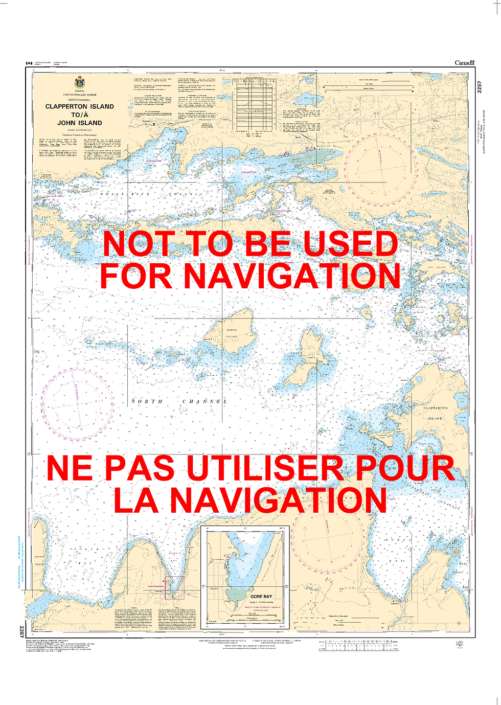
CHS2257 - Clapperton Island to/à John Island
CHS2258 - Bayfield Sound and Approaches/et les approches
CHS2259 - John Island to/à Blind River
CHS2260 - Sarnia to/à Bayfield
CHS2261 - Bayfield to/à Douglas Point
CHS2266 - Michael's Bay to/à Great Duck Island
CHS2267 - Great Duck Island to/à False Detour Passage