Home
Charts_Navi
NCC_Navi
Publications_Navi
Digital_Navi
Flags&Signs_Navi
Logbooks&Stationary_Navi
Navigation&Safety_Navi
Contact
Digital Charts
Charts
Publications
Flags
Voyager
Stationary & Signs
Navigation Equipment
Safety Equipment
Terms and Policy
More
14842 - SMALL-CRAFT BOOK CHART - Port Clinton to Sandusky, including the Islands
14843 - Huron Harbor
14844 - Islands in Lake Erie;Put-In-Bay
14845 - Sandusky Harbor
14846 - SMALL-CRAFT BOOK CHART - West End of Lake Erie from Perrysburg, OH., of
14847 - Toledo Harbor;Entrance Channel to Harbor
14848 - Detroit River
14850 - Lake St. Clair
14852 - St. Clair River;Head of St. Clair River
14853 - SMALL-CRAFT BOOK CHART - Detroit River, Lake St. Clair and St. Clair Riv
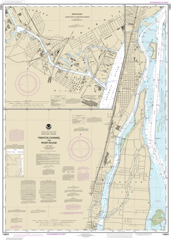
14854 - Trenton Channel and River Rouge;River Rouge
14860 - Lake Huron
14862 - Port Huron to Pte aux Barques;Port Sanilac;Harbor Beach
14863 - Saginaw Bay;Port Austin Harbor;Caseville Harbor;Entrance to Au Sable Riv
14864 - Harrisville to Forty Mile Point;Harrisville Harbor;Alpena;Rogers City an
14865 - South End of Lake Huron
14867 - Saginaw River
14869 - Thunder Bay Island to Presque Isle;Stoneport Harbor;Resque Isle Harbor